Dalcour Maclaren was instructed by a national utility operator to identify landowners potentially affected by their project and provide ‘clean’ data in order to establish contact with them in relation to a 25km linear project across central London.
Our Land Referencing Team were tasked with identifying the affected titles, liaising with HM Land Registry, cleansing and enhancing the landowner data and preparing mail merges.
Solutions
Querying the HMLR National Polygon dataset allowed us to quickly and accurately identify the titles within a search area so that a list could be sent directly to the HMLR Commercial Services team. This allowed them to process and return the ownership spreadsheet within 24 hours, which saved nearly a week when compared to the usual “submit search area, receive a quote, approve the quote, receive data” process.
We cleansed and verified landowner addresses with Royal Mail to ensure that correspondence would reach the intended recipient at an up-to-date address, further reducing time spent and costs for the client.
Using our expertise, we identified and cleansed landowner names to eliminate inconsistencies across titles which could lead to duplicates and multiple sets of correspondence being sent out. This also ensured our personal data storage was compliant with the GDPR.
We used mail merges to ensure that the large volume of name and address data was easily, efficiently and accurately transposed into word documents as the human effort and, therefore, the potential for errors was minimised.
Since the initial data collection, we have carried out tracing searches to improve the HM Land Registry data further and have been able to find forwarding addresses, contact telephone numbers and email addresses.

Results
Storing the Data
We have ensured that the values of Dalcour Maclaren are installed from the earliest stage of this project conveying, our professionalism and expertise; after all, this is our first contact with landowners.
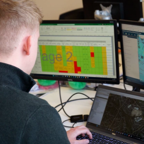
The clean data is the foundation of our database. Using our bespoke land referencing system, CONNECT, we were able to ensure that information was logged and held securely, and only accessible to the relevant approved people. This meant that from the start of the scheme, the data we held was concise and was easy for the client to interpret.
Using the data
The clean data in our database makes it easy for our surveyors (and clients) to locate and update landowner records as they start to receive posted replies or through on-site consultation and phone calls.
To create our mail merges, we extracted and grouped our data to ensure the appropriate number of documents were sent out; no landowner wants to receive three letters when they could have received one.
A combination of our CONNECT system, proven processes, and clean data enabled us to send out over 500 documents within a very tight timescale. We also produced individual copies of each of the documents, so that they could be uploaded to our client’s system as evidence that all contractual requirements had been met.
The overall result is that we have a higher percentage of replies to our correspondence, a higher number of signed agreements and a very happy client.

Related Case Studies


Explore our Expertise
With our single focus on utilities and infrastructure, we anticipate our clients’ needs and provide tailored and effective solutions.