Our Services
Our core service relies on accurately digitising, collating, managing, analysing and delivering land and property information to our clients to help them achieve their business objectives.
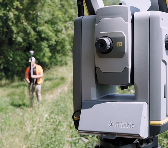
Topographical Surveys
- Detailed and complete survey of natural and man-made features including trees, buildings, utilities, infrastructure and watercourses
- Internal and external building surveys using manual recording and laser scanning techniques
- RICS accredited surveyors working to the required guidelines and standards
- Range of equipment and techniques available, with accuracies of 3-5mm achievable
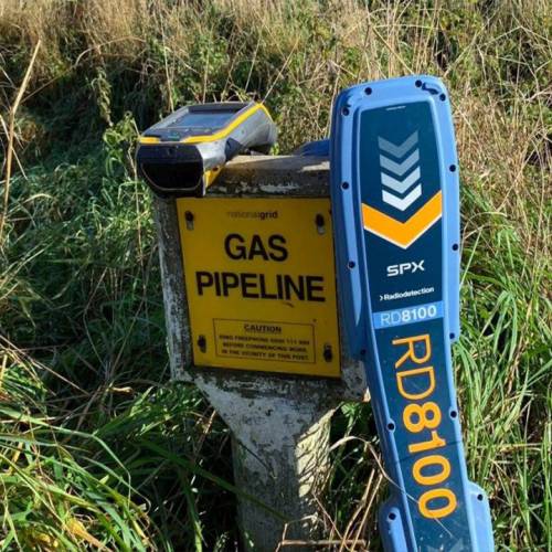
Underground Utility Surveys
- Radiodetection (CAT and genny) and ground penetrating radar (GPR)
- Locating existing underground pipelines, cables and other services
- Identifying and recording depth of cover over services
- Undertaking utility desktop surveys
- Surveys undertaken to PAS 128:2014 standards
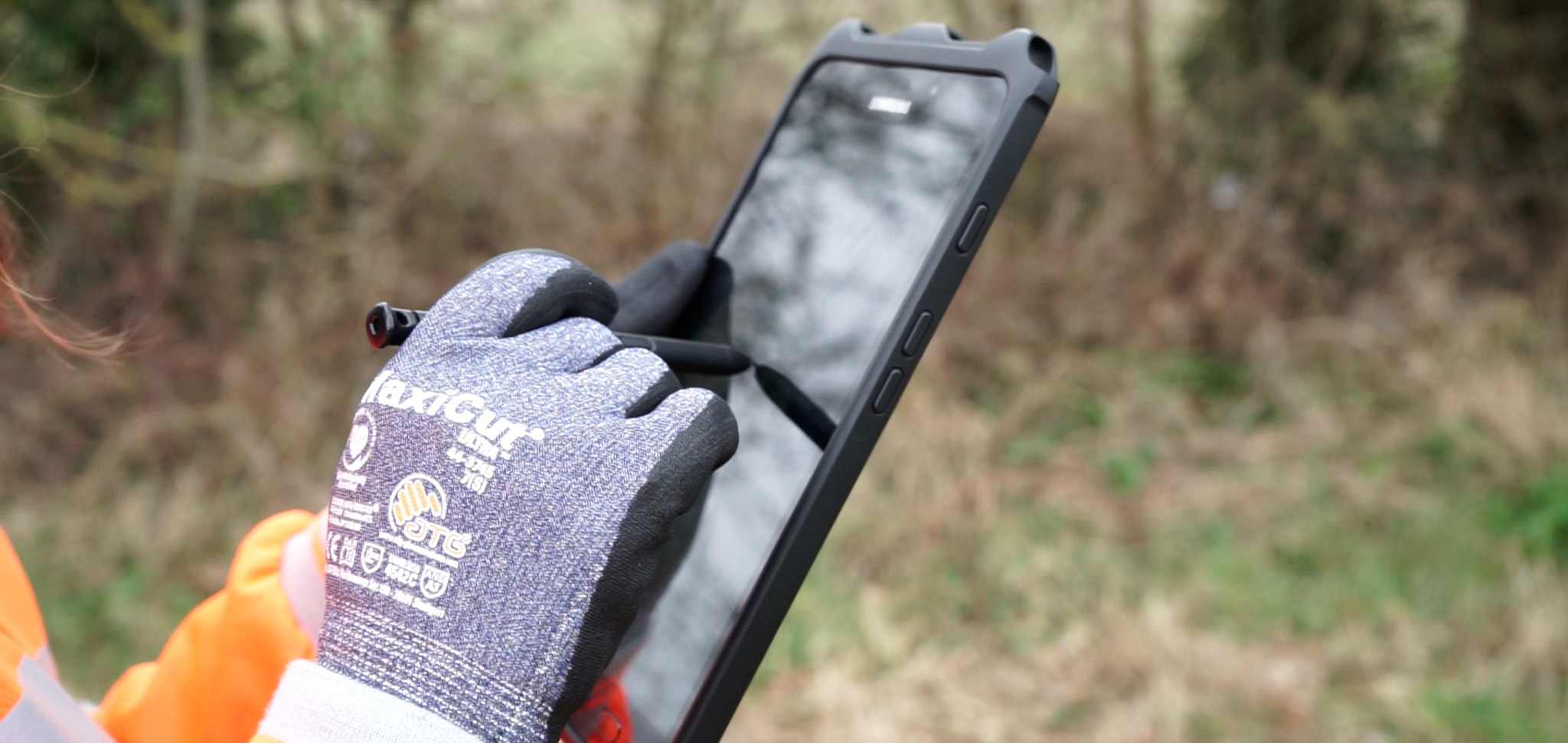
GPS/GNSS Surveys
- Recording natural and man-made geographical features
- Setting out boundaries, easements and working areas
- Data collection and route walkover surveys
- Location accuracy of +/- 10cm
DCO & CPO Land Referencing
- HM Land Registry title interrogation
- Site notice erection and monitoring
- Conducting of contact site visits to chase LIQ response
- LIQ response logging and interpretation
- Quality assurance of data on CONNECT and documents sent
- Book of Reference and CPO Schedule production and quality assurance
Data Management
- Identification and bulk purchasing of HM Land Registry documents and data
- Cleansing of HM Land Registry data using desktop research to ensure accuracy
- Conducting Atkins and LSBUD (Linesearch BeforeUdig) utility searches
- Document mail merges
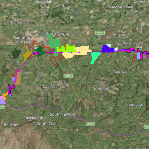
Maps
- HM Land Registry compliant plans
- Easement and wayleave legal plans
- DCO and CPO land plans
- Schedule of works and notice plans
- Building drawings – elevations, section, floor and detail plans
- Masterplanning and design
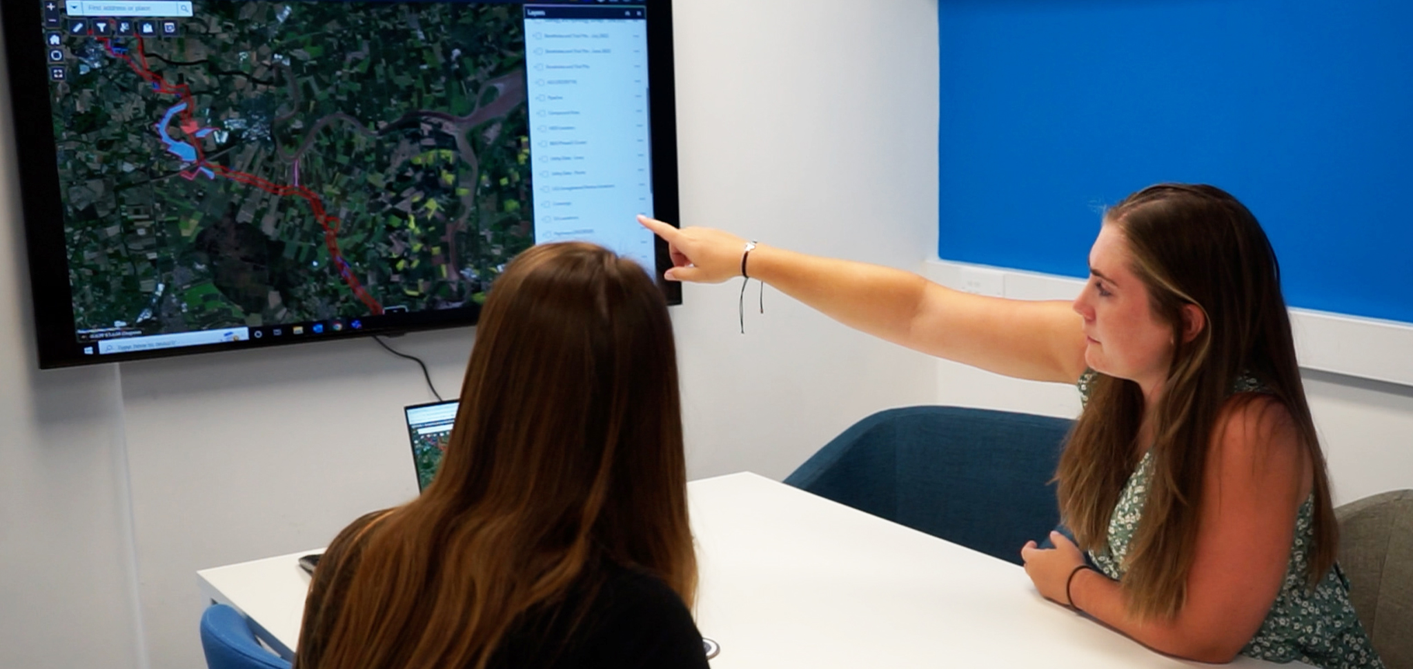
Apps
- CONNECT and Mapthat WebGIS
- Online landowner questionnaires
- Site notice placing and monitoring app
- Property inspections surveying and reporting
- Constraints and opportunity modelling
- Onsite risks, hazards and non-compliance identification and recording
Data
- Ordnance survey and HM Land Registry data partners
- Data sourcing, hosting and licencing
- Data capture and collation
- Enterprise spatial database
- System architecture and design
- Realtime KPI dashboard reporting
Additional Services
- Chartered Geographers and Surveyors
- AutoCAD Certified Professionals
- Ordnance Survey and HM Land Registry Partners
- Industry standard software including AutoCAD, Esri ArcGIS and DynamicMaps
- Our bespoke CONNECT system
We strongly believe that accurate data leads to an accurate service. We have invested significantly in bespoke, state-of-the-art web-based systems to ensure this is delivered every time.
Land Surveying
Our highly skilled Land Surveying team has expertise in conducting topographical, underground utility, and GPS/GNSS surveys. Our service offerings include:
- GPS/GNSS surveys
- Topographical surveys
- Underground utility surveys
- Building surveys
- Monitoring surveys
- Setting out
- As-built surveys
Our state-of-the-art technology and advanced techniques enable us to provide precise information to our clients, ensuring successful completion of projects.
Land Referencing
Our Land Referencing team professionals carry out due diligent enquiries to ascertain persons with any interest in land providing various services:

- Data sourcing, acquisition and collation
- Data cleansing and quality assurance
- HMLR interpretation and interrogation
- Due diligence
- Mail merge creation and issue
- Landowner and land Interest questionnaires
- Site notices and contact referencing
- Document storage
- Book of reference creation
- Public consultation and inquiry
We are dedicated to providing accurate information to our clients, enabling them to make informed decisions about their land or planning interests.
Maps & Apps
Our CAD technicians and GIS analysts use advanced technology to create maps, plans, and design solutions for projects. We offer a range of services:
- HM Land Registry-compliant plans
- Easement and wayleave legal plans
- DCO and CPO land plans
- Schedule of works and notice plans
- Building drawings – elevations, section, floor and detail plans
- Master planning and design
- Constraints and opportunity modelling
- WebGIS
- Spatial database design and development
- KPI dashboard reporting
- Risks, hazards and non-compliance identification
Our team is committed to providing reliable information to our clients for successful project completion.

“We prioritise efficiency and precision and have developed robust systems and procedures to deliver highly accurate data. Our investment in cutting-edge systems, software, and hardware is part of our commitment to an innovative and quality service. We take pride in providing reliable and accurate data to our clients and continuously enhance our services to meet their evolving needs."
Sam Catling, Director
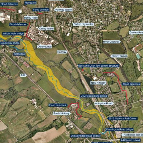
Related Case Studies


Explore our Expertise
With our single focus on utilities and infrastructure, we anticipate our clients’ needs and provide tailored and effective solutions.