
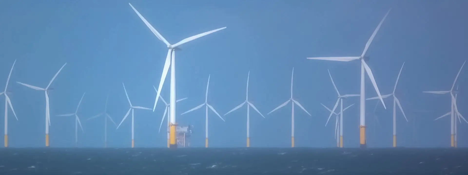
Mapping a route to success for the Mona offshore wind farm
10 August 2026At a glance
Supporting the development of an onshore cable route with terrain, utility and access constraints.
Topographical/GNSS, Utility and UAV-mounted LiDAR surveys, data capture and validation, land access coordination, stakeholder engagement.
Accurate, design-ready route data delivered ahead of schedule, securing follow-on work with the client.
Offshore wind projects depend on reliable onshore infrastructure to connect power generation to the transmission grid. For Mona to be connected successfully, DM needed to navigate the varied and complex constraints of a 13km cable route.
Dalcour Maclaren’s role
- Provided topographical and utility surveys along the entire route corridor.
- Used Total Station/GNSS and UAV methods to capture accurate terrain data.
- Coordinated access with approximately 30 landowners.
- Identified route constraints and underground assets.
- Delivered design-ready data to support route development.
THE DM DIFFERENCE
We challenge
As part of the Mona offshore wind farm build, our Land Surveying team delivered design-ready data for the 13km onshore cable route corridor. They combined aerial and ground-based survey methods to map a complete picture for the client.
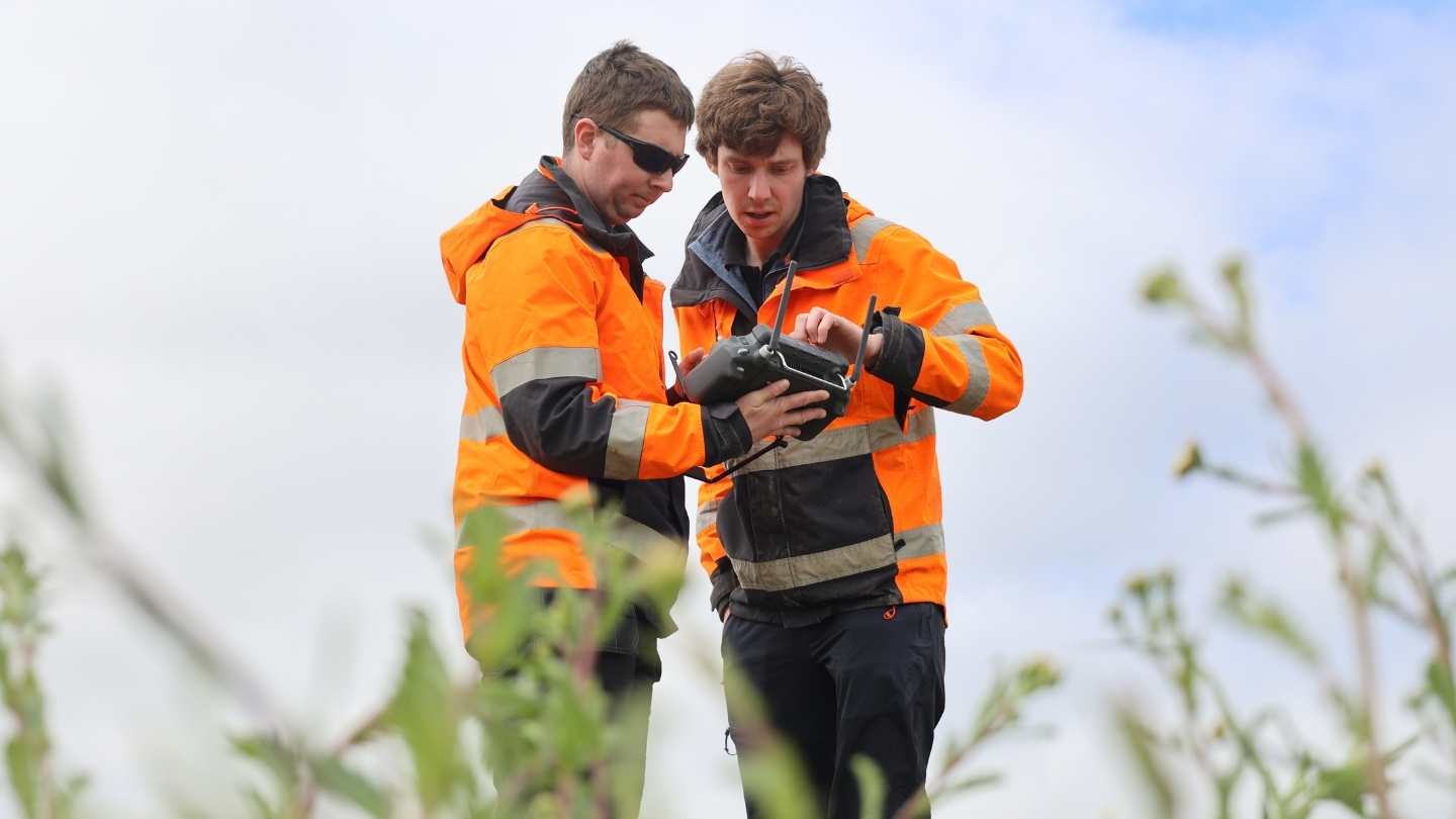
UAV (drone) survey work is highly weather-dependent. In North Wales, rapidly changing conditions meant flight plans had to be flexible to fit within short windows between wind and rain events. When flying wasn’t possible, the team switched to ground surveys using Total Station/GNSS, GPR and EML.*
Access also varied along the corridor, with each land parcel requiring approval before survey work could take place. The team sequenced activities around availability to keep momentum along the route.
Multiple survey disciplines ran in parallel, with daily decisions on deployment keeping work coordinated across the project.
To manage these changing conditions across the project, field and office-based teams worked together. This enabled capture, validation and delivery to run in parallel – and ensured constant progress.
* Global Navigation Satellite System, Ground Penetrating Radar, Electromagnetic Location
We innovate
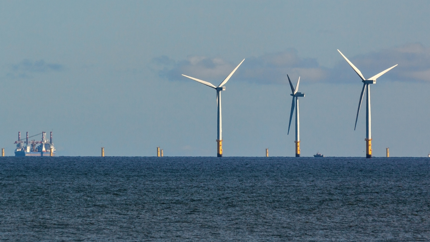
Building on this multi-method approach, the team brought different survey datasets together to form a complete picture of the route.
UAV-mounted LiDAR captured large areas of open terrain quickly and accurately. While ground-based Total Station/GNSS methods were used to confirm details where vegetation and hedgerows limited visibility from above. And GPR and EML equipment helped fill critical information gaps where existing utility records were incomplete.
By checking and validating these inputs as a single dataset, the team created consistent and reliable information. This enabled the client to make confident route planning and engineering decisions.
We care
Around 30 landowners were impacted by the route, so successful delivery relied on strong, practical collaboration throughout.
Our Land & Property team worked directly with landowners to understand how each holding operated day-to-day. From this foundation, survey activity was planned collaboratively. Ensuring our work fitted around livestock movements, cropping cycles and ongoing site operations.
Land Surveying and Land & Property teams worked closely together throughout, ensuring that what was agreed locally aligned smoothly with survey delivery requirements. This multidisciplinary approach created a practical working rhythm that supported the needs of both landowners and the client.
Delivering certainty for complex energy infrastructure
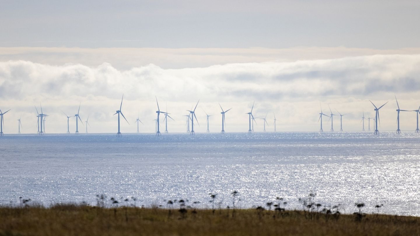
By integrating multiple survey disciplines into a single, validated dataset, the Land Surveying team removed uncertainty along the full 13km corridor. Delivered ahead of schedule, their work was critical to the development of the Mona offshore wind farm cable route.
Specialist contact


